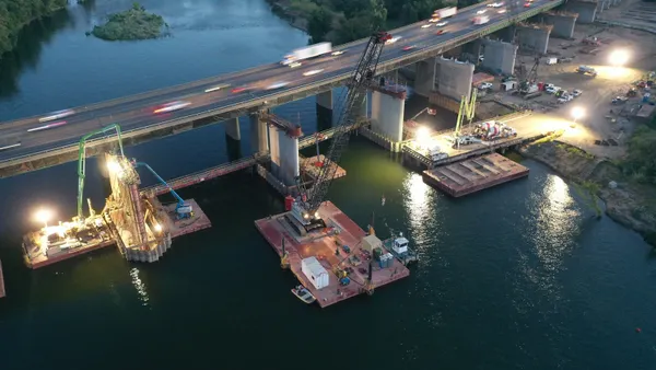
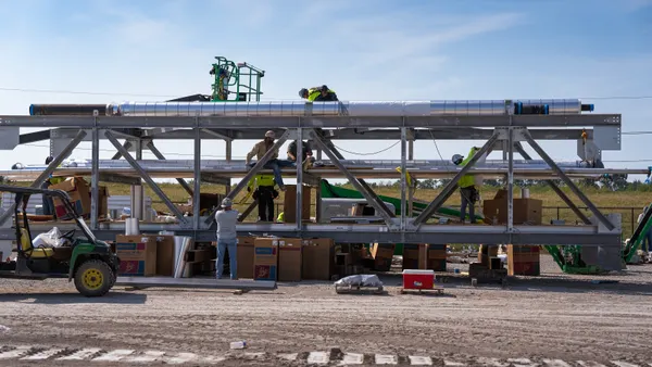
The use of drones and scanners to capture construction projects' conditions is one of the fastest-growing and most exciting innovations impacting the built and natural environments today. Drone imagery provides a high-resolution, low-cost, highly repeatable source of data for mapping and operational workflows. As the industry embraces reality capture, AEC professionals need solutions that optimize and simplify the deployment of these exciting tools. However, reality capture tasks must be simple enough to be included in a project execution plan, and the effort should add immediate value towards the goal of creating a connected source of data for the project’s digital twin.
The Challenge:
For years, successful reality capture has required mastering several disconnected tools. Drone flight planning was a separate process from image organization, which was performed independently from analysis and information delivery. This disjointed tasking created a challenge for many organizations attempting to put reality capture into action, limiting the adoption of these valuable new capabilities.
While leading firms with well-funded innovation teams may have investigated the possibilities of reality capture, many organizations haven't even begun. The opportunity to improve workflows has been attractive and exciting to all, but the complexity of implementing reality capture technology has been a barrier to entry for many companies- until now.
For reality capture to realize its potential impact on the industry, fragmented collections of points solutions should be modernized with a workflow-oriented approach. AEC professionals need an offering that delivers everything, from start to finish- flight planning, capture execution, processing data, and finally disseminating the information to the people who need it.
The Solution:
Esri's Site Scan for ArcGIS provides a complete, end-to-end workflow for acquiring and processing drone imagery, working with the resulting data products, and managing your drone assets.
Esri's offering includes a wide range of capabilities for AEC professionals at firms of all sizes, delivering results for projects of all types. From organizations with small drone programs, where the goal is to capture and visualize drone imagery for periodic reviews, to firms planning complex flights that require a scalable cloud processing and analysis, Site Scan for ArcGIS is the solution.
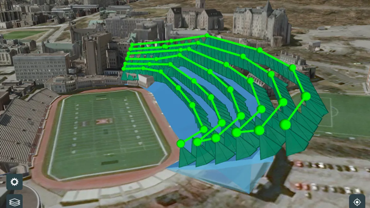
Site Scan for ArcGIS helps reduce capture and survey time by leveraging a wide range of drones and bringing advanced automated flight modes. By using up-to-date overlays to create accurate 2D and 3D flight plans, you can autonomously execute flights to capture site data- faster and more easily than ever before.
The Results:
Once drone data is collected and uploaded to the cloud, the ability to see the flight result is critical. With Site Scan for ArcGIS you can access your processed data and historical data results, perform time-based analysis, volumetric reports, inspections, and more in a web browser, right at your fingertips. This application simplifies, automates, and delivers many AEC workflows involving reality capture in web and mobile format, eliminating the need to download massive gigabytes of data.
Many organizations need to keep track of drone flights, hardware, and pilot flight histories for insurance and legal purposes. Site Scan for ArcGIS makes that easy, serving as an automatic source of record for all flights. A preflight checklist ensures that any pilot about to take off with a company drone has completed the required information. All flight data is recorded for any future needs.
The flight can be viewed in 3D as the drone is flying, giving the pilot complete situational awareness and presenting exactly where that drone is in relation to tower cranes, neighboring buildings, and terrain. You can publish a point cloud directly as a service to BIM 360 and enable a drone to capture it and do clash detection.
Conclusion:
Esri's Site Scan for ArcGIS is a complete analysis, productivity and collaboration tool for reality capture. Easy for users who want to view scanned data; extensible for project administrators who need to configure direct integration with ArcGIS Online, ArcGIS Portal, BIM360, and other industry solutions.
Site Scan for ArcGIS makes it accessible to have a single source of truth for all design and drone data. With the simplicity and power of Site Scan for ArcGIS, reality capture is becoming more feasible. The construction industry is implementing drone workflows with this complete end-to-end automated aerial reality capture solution, and you can too.
Watch a presentation introducing Site Scan for ArcGIS and AEC workflows.


