Dive Brief:
-
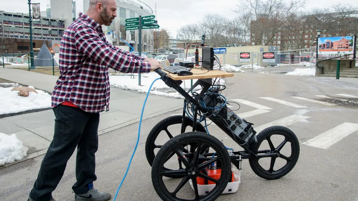
Researchers at two universities are pairing ground-penetrating radar (GPR) with a cognitive, smartphone-based augmented reality app so that users can see virtual 3-D models of underground objects but also have access to a visual map of subsurface infrastructure that the app stitches together based on a network of previous scans.
-
The radar package can potentially reduce the permitting time for digging from up to 18 months down to an afternoon, thanks to the app's ease of visually presenting underground objects and its self-learning software component, according to a University of Vermont public release published by EurekAlert! The app was developed by the University of Vermont and the University of Tennessee at Chattanooga.
- GPR technology sends data back and forth to a centralized server, which is prone to latency. But the app can update a visual map of scanned underground areas in real-time, using cloud-based edge computing gleaned at the data's source, researchers said, allowing construction and utility workers to potentially see what radar operators scanned just by walking the site.
Dive Insight:
“Digging a hole in most major cities — for new construction or infrastructure repair — is no minor undertaking,” the Vermont University said in the EurekAlert! report. Extensive permits are required to make sure that, when digging for construction projects, contractors don’t hit underground objects such as electrical systems, sewers and pipes. That’s for good reason: An underground utility is hit or damaged every 60 seconds in the U.S., costing billions of dollars each year, according to the American Public Works Association in 2009, a statistic the university pointed out in its report.
Oftentimes, infrastructure can be older than city maps, meaning technology is necessary to know what’s below the surface of a site. GPR uses electromagnetic radiation to detect reflected signals from subsurface objects. But, as the researchers pointed out, there are often lags in sending the data to and from jobsites and scanning technology. Contractors often are the ones to suffer when delays occur.
When paired with the app, however, officials said a whole network of data from subsurface radar scans can be conjured up through on-demand, video game-like imagery of 3-D objects aided through AR technology that’s accessed through a smartphone. “The net result is that the system knows where you are, knows what's underneath, and can show you detailed images of what's there," said Dryver Huston, a mechanical engineering professor at the University of Vermont and the project's principal investigator, in the article.


