Dive Brief:
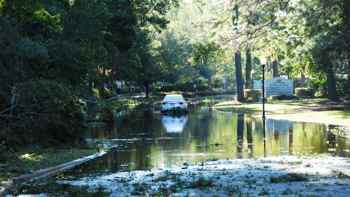
- A new study from the University of Bristol in the United Kingdom found that Federal Emergency Management Agency (FEMA)100-year floodplain maps severely underestimate the potential for flooding in the U.S., and that 40 million Americans are at risk of experiencing a flood event, two-thirds more than FEMA maps suggest, according to the Journal of Light Construction. The new report indicates that $2.9 trillion worth of property is at risk.
- The model that the new study uses includes flood threats from rainstorms and streams but does not factor in hurricane storm surge, particularly in storm-prone areas like Florida, where $714 billion of property is in 100-year floodplain.
- FEMA said it cannot incorporate new models into its floodplain maps without first verifying the information. The agency also said that the maps are intended to inform insurance companies about flood risk and to identify high-hazard areas, not to pinpoint all the areas where flooding can occur.
Dive Insight:
Because mortgage lenders rely on FEMA maps to determine if a homeowner needs to carry flood insurance, incorporation of the University of Bristol findings would likely raise the cost of buying a home for many Americans.
A concern about the costs of housing was one of the reasons the Houston City Council delayed a vote late last month on new floodplain building regulations proposed by the city's Department of Public Works. In order to reduce the potential for catastrophic flooding like the city experienced during Hurricane Harvey last year, the agency wants all new structures in Houston to be built two feet above 500-year floodplain levels. The city approved the new building regulation on April 4.
Officials said the proposal could increase the price of construction by $11,000 to $32,000 per structure for buildings in general. Houston's chief recovery officer said the cost of a 1,500-square-foot home would likely increase between $8,000 and $10,000.
Houston officials said they will also begin developing building standards for areas outside of floodplain maps, where 50% of at-risk properties are.
If the new measures pass an April 4 city council vote, PLEASE CHECK IF THE VOTE PASSES Houston officials can probably expect some of the same pushback that New York and New Jersey officials did when FEMA redrew floodplain maps after Superstorm Sandy. More structures were included in high-risk zones, and residents and business owners faced much higher insurance bills.
In response, New York City officials created their own maps, which removed 26,000 structures and 170,000 residents from floodplain areas.


