Correction: A previous version of this story erred in naming the source of the digital twin project. The Orlando Economic Partnership, which represents seven counties and the city of Orlando, is financing the project.
Dive Brief:
- The Orlando Economic Partnership (OEP) is investing in a digital twin of the city's metro region, which will use real-time data to inform decisions on infrastructure, utilities and business development.
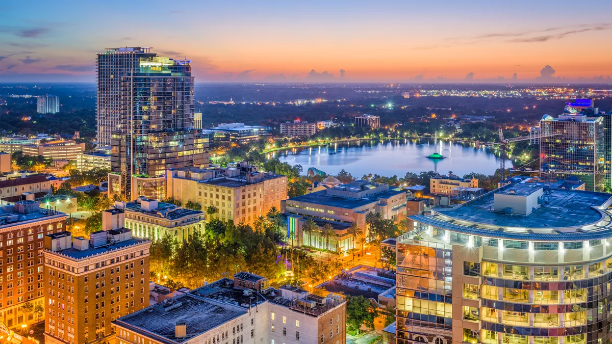
- Unlike many other cities' digital twins that capture downtown areas, the Orlando project — currently being developed by technology company Unity — will map the entire 40-square-mile metro region, including the Space Coast, amusement parks and the Orlando International Airport. That will allow it to also be used as a model to show off the region to businesses and developers interested in investing in the city, said OEP CEO Tim Giuliani.
- The model, slated to be unveiled in October, is a key part of the city's "digital transformation," Giuliani said, and will help in scenario planning. "You go from the abstractness of a PowerPoint slide deck with some bullet points to being able to look and see something," he said. "This is a much easier way to digest the information."
Dive Insight:
As smart cities seek out richer region-wide data, they are embracing digital twins, which create a workable computer model of a metro region at a point in time that can subsequently be updated with real-time data. The models can be used for a variety of projects, demonstrating how traffic changes will ripple out across a region or how existing infrastructure will hold up to the impacts of climate change. Cities including Las Vegas, Boston, Los Angeles and Galveston, Texas, are among those that either have or are planning digital twins.
Sharon Di, an associate professor of civil engineering and engineering mechanics at Columbia University's Data Science Institute, said the twins take advantage of the "ubiquitous collection of data in cities," leveraged by powerful computer simulations that allow a deeper understanding of a city than has existed in the past.
"In a sense, it's like running a digital city," said Di, who is part of a team working on a digital twin project for New York City. That project is leveraging roadside sensors and data collected through a wireless testbed in West Harlem to gather information and allow real-time management of traffic controls to ease congestion. Di said the "real-time response" that a digital twin offers allows researchers to see the wide-reaching consequences of a small shift to traffic signals, or can give traffic planners more control over signals in emergency situations.
Other digital twins have allowed cities to test policies around mobility, energy consumption and new infrastructure development. A May 2021 report from consultancy EY predicted that digital twins used in construction and real estate could help commercial property and infrastructure owners reduce energy consumption by up to 50% and reduce operating costs by 35%.
The Orlando digital twin will have a wider scope and will also have a real-world holographic display, which will include the full terrain, mobility infrastructure and buildings in the city. OEP's Giuliani said the "wow factor" is part of the appeal since it can be used to show off to developers interested in the region and let them get a sense of the area without a lengthy driving tour. "It's more like something out of a movie than anything else you've ever seen before," Giuliani said.
Giuliani emphasized that the model is still in its early stages, but said that future versions will have more data capabilities and an open back end that will allow a range of users to run their own data scenarios.
"We want to create an ecosystem so that our developers, real estate companies, banks, utilities, municipalities, all sorts of partners can use their own public or private data," Giuliani said. "To be able to do scenario planning through visualizations and run everything through this digital twin … that's the holy grail."


