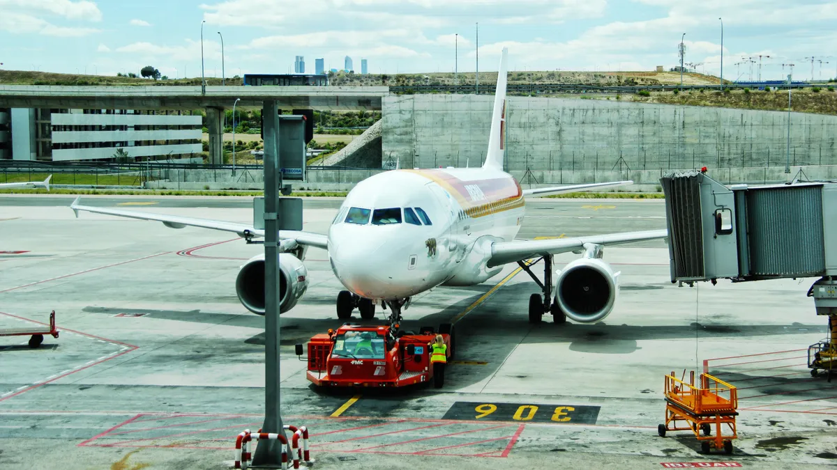
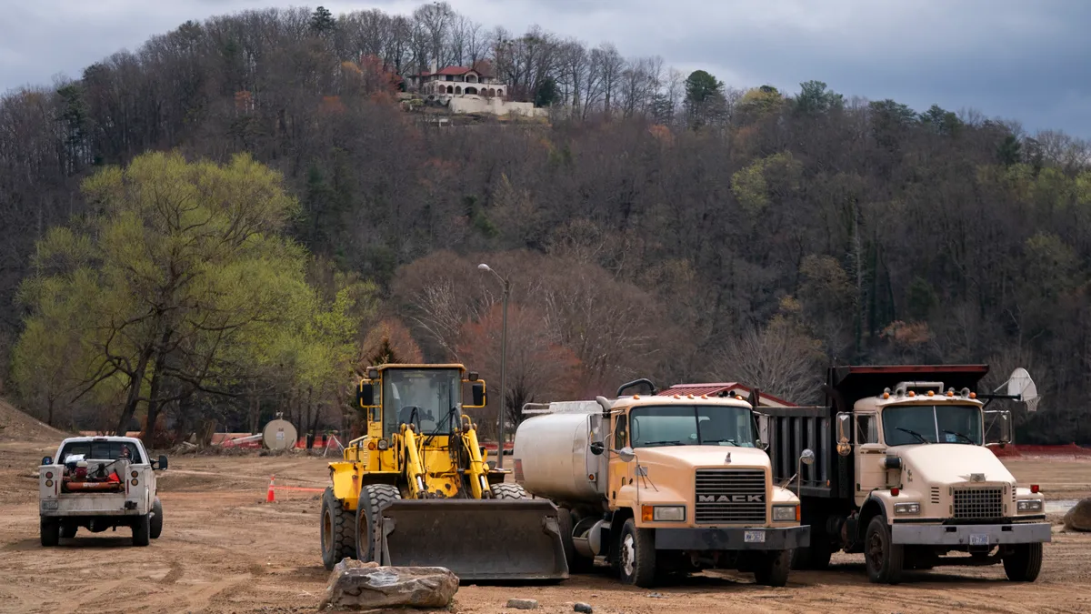
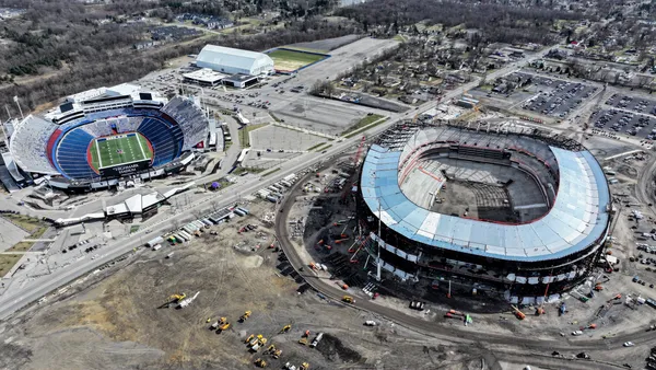
How do you fly a construction drone over an international airport? Start with the same requirements for your average commercial jet airliner, including a licensed and experienced pilot, a few co-pilots, and a live radio link to the air traffic control tower. You’ll also need special permission from the Federal Aviation Administration for take-off and flight operations in Class B restricted airspace.
On Jan. 10, 2017, Berkeley, CA–based 3D Robotics did just that, completing the first commercial drone flight in restricted airspace to scan two parking garages and an adjacent SkyTrain station as part of the $6 billion expansion of Hartsfield-Jackson Atlanta International Airport.
“You are flying in controlled airspace with defined boundaries and altitudes, and you need a licensed pilot — not just a licensed drone pilot — to talk to the tower and know everything that is going on,” said Kevin Sartori, who was on the scene as senior product marketing manager for 3D Robotics. Class B airspace extends 10,000 feet above most airports and is strictly controlled by the FAA to standardize and monitor all procedures for safety and security. “Planes are taking off and landing every 90 seconds, and it was very important that we didn’t interrupt airport operations," he said.
With a crowd of major U.S. airports — including Hartsfield-Jackson, LaGuardia and Los Angeles International — undergoing multibillion-dollar modernization projects, designers, engineers and builders are using digital technologies from drones to laser scanning and even document management to expedite their delivery. The result meshes new designs with as-built conditions for execution on massive, fast-tracked projects that share one key condition: that the airport stays open for business as usual.
Continuity of operations
Business as usual for most airports is no small affair. If it seems like most airports are constantly undergoing some kind of renovation, that’s because they are. According to the U.S. Department of Transportation’s Bureau of Transportation Statistics, the number of annual airline passengers has increased every year since 2009. If 2016 numbers stay on trend, they’ll be on pace to surpass the record high of 895.5 million passengers on domestic and foreign airlines serving the U.S. set in 2015.
“...[T]hey are huge profit centers and almost always the largest source of local tax revenue,” said Ken Smerz, president and CEO for Phoenix-based Eco3d, a national reality capture, 3-D modeling and engineering consultancy that has worked on modernization projects at the San Francisco International Airport, McCarran International Airport in Las Vegas, Chicago’s Midway International Airport and LAX, among others.
“You are flying in controlled airspace with defined boundaries and altitudes, and you need a licensed pilot — not just a licensed drone pilot — to talk to the tower and know everything that is going on."

Kevin Sartori
Senior product marketing manager, 3D Robotics
To handle the surging volume of fliers, airports are building (and rebuilding) runways, terminals, passenger concourses, baggage claim areas, departure and arrival approaches and parking garages, all in an effort to keep travelers and cash flow moving with minimal delays.
“Operations touch every aspect of these programs,” said Tristan Randall, a strategic projects executive for business development at Autodesk and a member of the 3D Robotics drone team at Hartsfield-Jackson. “Most airports are modifying and adding on to existing infrastructure, and minimizing disruption is critically important. When it comes to managing the construction schedule, keeping the maximum days open for business as usual is the key driver.”
Documenting for dollars
At Sky Harbor International Airport in Phoenix, Eco3d completed 8,000 individual laser scans to capture the airport’s baggage handling and claim areas, including rendering drop-ceiling mechanical, electrical and plumbing systems, all during normal operating hours using eye-safe terrestrial laser scanners. “Any technologies you can use in a crowded environment are of sensational value as the airports look to efficiently move people from area to area during construction,” Smerz said, adding that the more technologies can be leveraged during peak passenger travel times, and the more efficient those technologies are, the faster modernization projects can be completed.
With continual remodeling comes continual structural change, and airports, once notorious for lacking high-quality as-built information and data sets, are embracing 3-D modeling and other project documentation technologies to enable modernization collaboration and visualization today and in the future. “Most existing construction documentation is 2-D and almost always horrifically wrong,” Smerz said. “But there’s been a radical increase in airport owner functional knowledge of construction technology, and their expectation of digital documentation has been one of the biggest trends affecting the space.”
"Most airports are modifying and adding on to existing infrastructure, and minimizing disruption is critically important."

Tristan Randall
Strategic projects executive for business development, Autodesk
Sasha Seco is a certified general contractor and director of business applications for Fort Lauderdale, FL–based Moss Construction Management. As part of the construction team for a $2.4 billion expansion and modernization project at Fort Lauderdale–Hollywood International Airport, Moss implemented paperless document control technology from San Francisco-based PlanGrid. The web-based, mobile-friendly platform automatically updates plan sets as project team members revise project documentation, and it provides photo documentation to manage punch outs.
“The airports can’t afford to not be operational, and it’s been a great tool for us to keep moving and quickly share information with subs or anyone we need to communicate with on the job,” Seco said. “It’s collaborative, it's web-based, and all you need is a browser.”
According to Randall, advances in drones and terrestrial laser scanning reality capture are helping as-built modeling for modernization projects achieve the level of detail and design accuracy that BIM brings to pre-construction design. In addition to investing in drone-based photogrammetry software like 3D Robotics’ Site Scan, Autodesk is active in the laser scanning space, working with both Faro and Leica to manage high-accuracy laser scanning via the Autodesk ReCap 360 mobile app — a functionality the company hopes to introduce by this spring.
“We are on the cusp of a massive increase in these types of technologies particularly for airports, where the stakes are so high with so much money involved,” Randall said. “We’ve been great with 3-D for as-planned, but as an industry are still striving to do the same with as-builts for existing conditions.” Automation of functions, intuitive user interfaces, and integration with other construction software will make capture technologies easier to use while vendors look to manage the data fusion between different technologies.
Safety and security drive implementation
Seco, for one, is anticipating the integration of PlanGrid with the CMiC project management software that Moss uses, which will enable the firm to seamlessly create RFIs as well as connect plan documentation and photos to specific job-related actions and assignments.
The push for efficient systems is critical in the highly dynamic, unpredictable environment of modernization programs. On Jan. 6, as Moss crews were working on the expansion of the Southwest terminal at Fort Lauderdale–Hollywood International Airport, a gunman opened fire in one of the airport's baggage claim areas, killing five people and wounding six more. “Passengers came running onto the job site and our supervisors were picking people up in trucks,” Seco said.
While technology can't prevent isolated and unpredictable tragedies, it can be used to keep job sites prepared for the unexpected, as well as to help improve airport infrastructure to lower the probability of an operations-related accident. With passenger safety in mind, airport modernization efforts use scanning technologies to assess runway conditions. “Again, there’s always some sort of maintenance and modification as the surface changes with heat and ice and vehicle traffic,” Smerz said. “We’re using the same LiDAR systems we use to capture MEP systems to measure the relative flatness and manage structural changes over time.”
“Planes are taking off and landing every 90 seconds, and it was very important that we didn’t interrupt airport operations."

Kevin Sartori
Senior product marketing manager, 3D Robotics
Runway analysis could also open the skies for more Class B drone flights at airports across the country. “To capture a runway, you’ll have to shut down the airport for some period of time,” Sartori said. “With a couple of drones, you could very quickly and accurately capture 30 acres in 15 minutes.” While that's dependent on FAA waiver approvals for construction drone flights to join the increasingly busy national airspace, the agency's general progress in loosening commercial flight restrictions bodes well so far, Sartori said. Already, the agency has granted more than 300 waivers to permit flights in all classes of airspace. Sartori said the Hartsfield-Jackson team submitted its request to the FAA's online request portal and got a response within about 6 weeks.
“For 99% of construction jobs, you won’t need a waiver from the FAA,” Sartori said. “But there’s nothing normal about these airport projects, and it's good to see the FAA, along with everyone else, embracing the tools to keep things moving forward quickly.”


