Editor's Note: The following is a guest contribution from Steve Santovasi, manager of the Geospatial Services Department at consulting firm Burns & McDonnell.
It doesn’t take a high-flying drone to see the expanding field of commercial opportunities for unmanned aerial vehicles — both in terms of project engineering and design, and in facility operations and maintenance.
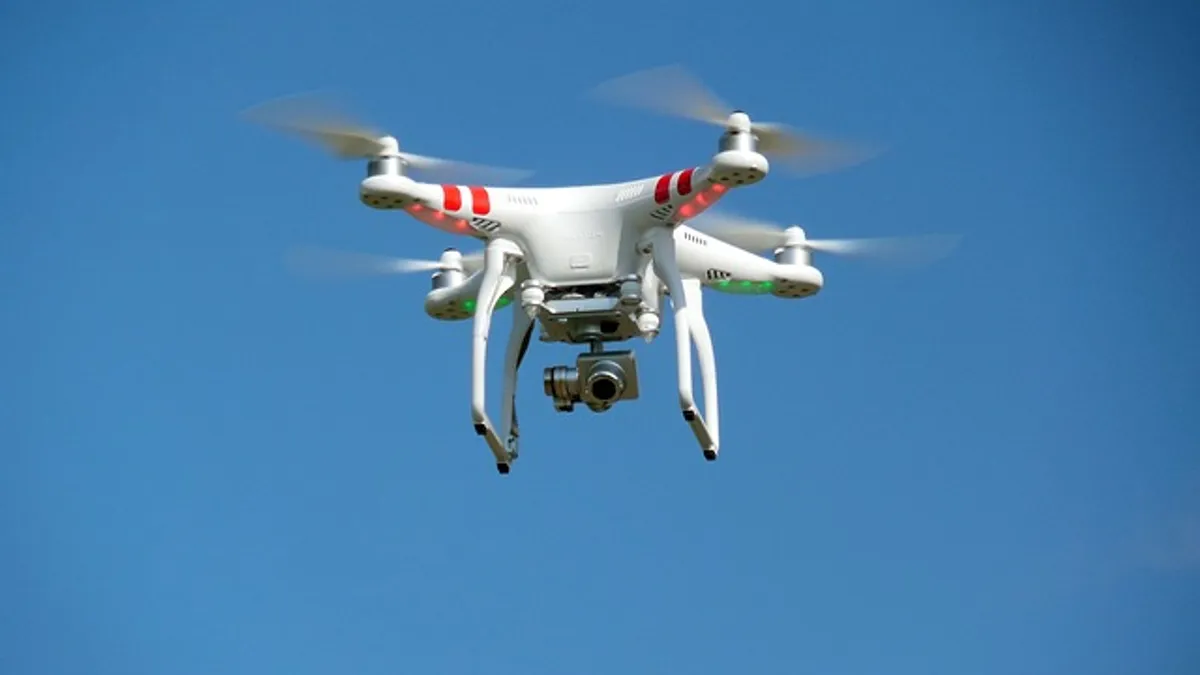
The Federal Aviation Administration (FAA) recently released new rules and regulations governing the commercial use of unmanned aircraft systems (UAS), commonly known as unmanned aerial vehicles (UAVs) or drones. The goal is to encourage the safe and appropriate use of such vehicles, which deliver productive results that include increased speed, improved safety, a wealth of data and clear documentation. As the growth of UAS continues — the FAA expects total hobbyist and commercial UAS sales to hit 7 million in 2020, up from 2.7 million today — prospects for its future are bright.
The benefits and opportunities for engineers are evident in two general categories: engineering and design, and operations and maintenance.
Enhancing engineering and design
Engineers looking to design a project want the best and most reliable information possible, and they want it yesterday. The sooner they can compile the knowledge they need, the sooner they can deliver solutions their clients demand.
Utilizing UAS can expedite matters, reduce safety risks and expand data collection.
Among the benefits to consider:
- Schedule. Planners typically send out ground crews to collect topographical data and chart site conditions prior to a project’s design and construction. Such data gathering can take one or two weeks, and analysis can last even longer. Using a drone can reduce such process time to as little as 10 minutes.
- Scope. While ground crews collect solid information, their reach can be limited. Equipment on a UAS can grab and time-stamp data for use generating topographic maps, point clouds and other pervasive documentation. Such data sets can be used to pinpoint every visible facet of a site — every tree, parking space, building or manhole hole cover — so that designers can see exactly what they’re getting into, then make adjustments as the project continues.
- Detail. Photos and Mosaic imagery from a drone is decidedly high-definition, with resolution of 1.5 inches per pixel. Drone-gathered data can create a point cloud with 100 million points. All of this information refines an engineer’s ability to create exacting designs.
- Value. Using long-established plans and processes certainly is worthwhile, but looking to incorporate new technologies can prove particularly effective. For a design-build project in the Northern Plains, for example, Burns & McDonnell took advantage of UAS to deploy high-definition photography, thermal imaging and other processes that would be used to generate point clouds, 3-D meshes and more. When compared to traditional methods, the team ended up collecting 10 times as much information, at 60% of the cost.
- Safety. The FAA’s rules and regulations that govern UAS use are designed to keep the skies safe and to protect people and places on the ground below. These rules come as drones already are making matters safer for designers and engineers, and for the environment. For example, take the construction of a major transmission line through a remote, wooded area: Without drones, the team might need to hire a helicopter crew to transport a photographer to the site, then have the photographer hang outside to snap photos of trees, nests or other aspects of the project site. And with UAS, a team on the ground can put nothing more than a machine in harm’s way. Unlike a helicopter, the drone captures images while hovering quietly and far enough away to prevent disturbing birds in a nest.
Empowering operations and maintenance
The benefits of drones — and of the data generated and documentation produced through the use of such vehicles systems — don’t stop once a project is finished.
For professionals in operations and maintenance, or O&M, drones can serve as an effective supplement to existing practices. And they can even replace inherently risky activities, with the added bonus of providing more robust information.
Included among the benefits of deploying drones for O&M:
- Safety. Following the transmission line example from earlier, a drone can hover alongside and above a tower to capture high-resolution images of bolts, insulators or anything else rising high above the ground, detecting signs of rust, cracks, wear or stress. Without a drone, such inspections fall to people climbing up the poles, or being lifted in bucket trucks, putting people at risk. And the environment is better protected as well: A drone doesn’t need to secure easements or build access roads to access a particular area, and it doesn’t need to mitigate any damage left behind because there wasn’t any physical disturbance created to begin with.
- Efficiency. The acceleration of O&M efforts is easily recognizable when comparing drones with traditional methods, and the transmission line once again serves as a fitting example. When using a drone, there’s usually no need to secure a wetland permit, no need to build an access road, no need to call in a helicopter and no need to dispatch crews to other points up and down the line. Instead, within a relatively few minutes, you have in your possession all the information you need and more: high-resolution photos and videos, thermal images and other products from particular sensors employed for the specific job.
- Documentation. When a drone captures data, the information is time-stamped, georeferenced and otherwise marked to enable optimal usefulness. Data can be mapped, stored, compared and projected. The numbers illustrate an informational picture of unprecedented clarity.
Getting off the ground
UAS use is gaining traction among utilities and municipalities, as officials and their field professionals become more familiar with the systems’ capabilities and advantages. One way for a designer, engineer or O&M professional to get things started would be with — pardon the pun — a pilot program. This way an organization can see how UAS might work for a particular portion of a project or a specific component of a facility’s functions. Starting small can allow questions to be answered, concerns to be addressed and results to be realized.


