Erik Gronneberg is a reality capture manager for North Reading, Massachusetts-based Columbia. Opinions are the author’s own.
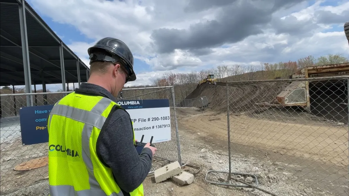
As a reality capture manager, I regularly use drones and drone software to quickly and accurately calculate the volume and weight of any stockpiled soil or material stored on a jobsite. This relatively new approach has provided big benefits to project costs and timelines.
Previously, we would rely on our site subcontractor regarding the quantity of a material that needed to be excavated, stored or moved.
They would come out to the jobsite and survey a given stockpile with a base station and rover. They’d collect a handful of data points by physically walking around the pile and estimate the volume of material.

In contrast, a properly trained and equipped drone operator can fly over any material stockpile, generate a point cloud with millions of data points and have actionable data to the project team within a few hours.
Of course, flying a construction drone isn’t as simple as hitting the order button on Amazon. The process to gather this type of data requires three elements:
- The right drone.
- Flight planning and data processing software.
- A properly trained and licensed drone pilot.
The right drone
The drone that I fly, a DJI Mavic 3 Enterprise, costs approximately $6,000 and is equipped with an Real-Time Kinematic system that helps with geolocation, which I recommend. There are many other good options in the marketplace, but one thing to consider is that if you do any work for the federal government or federal contracts, they will require you to fly a drone system that is made in the United States. For this reason, it’s worth noting that DJI, the leading drone manufacturer globally, is based in China.
The right software
There are many good drone software options to choose from, including a few good free options. Most are available via tiered subscription models that start at a few hundred dollars per year. I use DroneDeploy.
It offers flight planning, data processing, and analysis in one package and costs approximately $10,000 per year. It is a well-known software that is used by many commercial drone pilots and allows you to program flight plans so that the drone can capture the desired information on autopilot.
During a flight over a construction site, the unmanned aerial vehicle will typically take anywhere between a few hundred to 1,000 images, depending on the size of the site. When these images are uploaded they generate an easily accessible point cloud from all the images taken during the flight. This point cloud can be used to measure anything on your jobsite.
You can also create cut-and-fill reports by comparing existing conditions captured by the drone to the design surface. This allows you to track how much material needs to be removed or added.
With most drone software options that are geared toward the construction sector, you do not need to be a CAD wizard, and can view the 3D model directly in the software. Regardless of the software that you choose, understanding how to interpret and deliver the data is critical to the success of your drone program.
Pilots
Regarding pilots, you have two options: hire a commercially licensed drone operator to fly on your jobsite or train a member of your own staff.
To hire a commercial drone pilot with the expertise to do stockpile evaluations, expect to pay somewhere between $120 to $250 per hour depending on the region and scope of work. For a stockpile flight mission I would budget between eight and 16 hours total.
This number can vary significantly depending on scope. That would generally cover transport, flight time, data processing and reporting. Even though the pilot may only be on site for a few hours at most, they have a lot of other expenses and time that go into providing the data.
To train an employee to become a licensed drone pilot, expect to pay between $200 to $350 for a Part 107 Unmanned Aircraft System training course, and another $175 to take the Part 107 exam. You also need to factor in equipment, software and insurance costs, which can vary significantly.
The other major factor in this scenario is time. This process will take longer than hiring an experienced pilot. Expect it to take a least a few months before someone is actually ready to fly their first stockpile mission and generate accurate data. Once you have a pilot on staff, you have a lot more freedom to expand capabilities.
Regulations
All commercial drone operators need to pass a test conducted in person by the Federal Aviation Administration in order to receive a Part 107 certificate. This is the license that allows you to fly legally. The test has nothing to do with how well you can fly a drone, but tests your knowledge of airspace rules and regulations.
The right drone software will also be helpful in identifying what airspace restrictions and regulations you need to follow. Making sure you are complying with all the FAA rules and regulations will become even more essential in March, when the FAA rolls out a new set of rules known as “Remote ID.”
This is best described as a digital license plate for your drone that allows law enforcement to remotely identify any drone flying in a given area. They will be able to see who owns the drone and the exact location of the remote control.
Newly made UAVs come with this technology already installed but older drones will need an external unit that broadcasts this data. There are stiff fines and large legal risks associated with illegal operation of drones.
Our drone is now an essential part of our building process, and our relatively small investment in equipment and training paid for itself within a year. The type of data you can get from one of these systems is amazing and the technology is only getting better and better.


