Dive Brief:
- General contractor AECOM used its proprietary PlanEngage software to create an interactive Environmental Impact Statement (EIS) for the Interstate 11 Corridor project in Arizona that allows readers to navigate the information in a user-friendly format. This is the first time the technology, a creation of the company's software arm Digital AECOM, has been used on a transportation project in the U.S., AECOM announced last month.
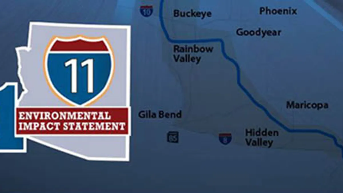
- The proposed highway will stretch 280 miles from Nogales to Wickenburg and provide a new route for travelers heading to and around the state's capital in Phoenix, according to the I-11 Corridor Study.
- The project leaders, including the Federal Highway Administration (FHWA) and the Arizona Department of Transportation (ADOT), have been working on the EIS for five years. The creation of the EIS is an “important milestone” for the project, according to the release.
Dive Insight:
The I-11 Corridor project's EIS was the result of five years of study, technical analysis and input from communities and stakeholders, according to the release. Instead of navigating a dense PDF, the program allows users to search through headings and subheadings through a navigation bar on the side. Readers can also pop out graphics and see them in a separate window on their devices.
AECOM's PlanEngage was designed to streamline the typical paper-based planning process by enabling teams to create, edit and publish project information in a single interactive platform. This includes photos, visualizations, sound demonstrations, videos, project dashboards, models and narrative, according to the release. Additionally, the platform has built-in feedback reception and reporting capabilities.
"The interactive EIS was a first for ADOT and the State of Arizona, and it was a huge accomplishment for the I-11 study team," said Steven Olmsted, ADOT program delivery manager, in the press release. "It allowed ADOT and FHWA to explore an alternative method for virtual public involvement, while providing tools such as shapefiles and map layers to help the public and agencies fully understand the Final Tier 1 Environmental Impact Statement document."
Though originally created with environmental impact projects in mind, the program has evolved to be able to work with a wide variety of project types and needs across an entire project lifecycle, according to the release.
This isn't the first time that AECOM has pioneered an in-house technology for use by its clients. In April 2020, the company released an interactive web-based tool to allow stakeholders to meet virtually, a boon as the coronavirus pandemic was rearing its head and limiting the availability of public meetings.
Available on computers and mobile devices such as phones, the program allows people to be placed into a virtual town hall room where they can read information, watch videos, views maps and plans and other functions.


