Dive Brief:
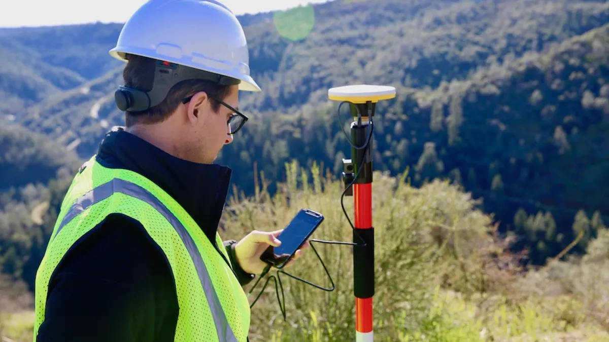
- Low-cost drone provider 3DR has introduced the 3DR GCP Android app that, according to engineering.com, will leverage Trimble’s Catalyst hardware to make it easier to determine ground control points (GCPs) and maintain precision, potentially upending the surveying industry.
- 3DR said that Trimble’s low-cost, plug-and-play digital antenna provides high-quality satellite data to the new app, making the task of getting accurate GCPs as easy as pushing a button. Users shoot control points, upload them to the Site Scan cloud and then geo-reference maps and models in Site Scan to make the drone more accurate.
- The company also said the process ensures greater accuracy for engineers and contractors while simplifying workflows.
Dive Insight:
Construction is one of the top three industries for drone use, employed for everything from marketing to design to inspections. 3DR’s CEO told Construction Dive last year that drone surveying is one of the tools that can help construction companies measure a project better and therefore manage it in ways that are faster and cheaper.
In surveying, drones and accompanying software are shifting the industry, with tools like Drone2Map that convert drone imagery to detailed, textured maps and then share it with the full project team via the cloud. Computerworld also points to benefits such as remote operation, improved safety, greater productivity and decreased time and monetary investment.
GCPs help increase global accuracy of drone maps by ensuring the map you are creating corresponds with GPS coordinates, explained DroneDeploy, crucial for tasks such as surveying, design and construction.
Whereas expert surveyors were traditionally required to establish GCPs on a construction site, 3DR’s new app can be used to accomplish the same task, the company said.
Others are taking different approaches. Identified Technologies’ Post-Processing Kinematic with SiteIQ for its Boomerang drone reduces the need for laying GCPs, Commercial UAV News reported, saving 75% of data gathering time. Komatsu Smart Construction said that the Explore1 drones it will be using to create 3D site maps, from drone data company Skycatch and China-based drone manufacturer DJI, carry out surveying quickly and eliminate the need for GCPs. In addition, sUAS News reported that Verity Positioning’s geo-referencing tool also provides high-accuracy mapping without GCPs.


