Dive Brief:
- Intel, which made its name in microprocessors, is breaking into the commercial drone services space, Equipment World reported.
- Its cloud-based Intel Insight Platform will process and analyze the stream of data captured by drones in sectors such as agriculture, mining and construction.
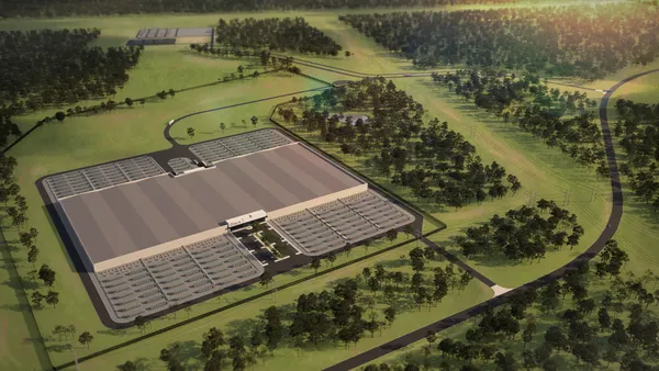
- Drones capture data and geo-tagged imagery in flight, which Insight users can review before uploading to the platform, where that information will be turned into 2-D or 3-D models (top image). The software also can detect changes occurring between inspection rounds.
Dive Insight:
Intel's move adds capacity and competency to the growing market for commercial drones, which the Federal Aviation Administration estimates will increase from 42,000 at the end of 2016 to more than 400,000 by 2021.
Earlier this week, Intel announced plans to further strengthen its foothold in the emerging technology market. The company is partnering with Honeywell Aerospace, in Phoenix, to implement Honeywell's inspection software on its drones, the Phoenix Business Journal reported. The service is designed for use in areas too difficult or too dangerous for humans to safely access, such as damaged infrastructure or tall power lines.
Similarly, General Electric has said it is using drones and autonomous crawlers to inspect transportation, oil and gas, and power facilities in hazardous or inaccessible areas.
UAVs increasingly have been used to scope out such spaces. Drones were used to document damage to the Oroville Dam, in California; they helped finish inspections of 100,000 feet of rail bridges in record time; and they now are being used to assess damage from Hurricane Harvey along the Gulf Coast.
In Houston, the FAA approved more than 100 authorizations for emergency-drone use in the two weeks following the storm. Those licenses went to local, state and federal government agencies (or to the private drone companies they hired) for tasks such as inspecting roadways and checking power lines — work that would have been difficult for humans due to the extent of the flooding.
Higher education institutions are also doubling down on drone research. The University of Maine at Augusta now offers coursework in drone operations and the University of Michigan and Virginia Tech are building netted outdoor enclosures to study the technology. Those structures allow researchers and students to test drones in a real-world setting, but with fewer regulations to follow than in open-air testing.


